KANGAROO ISLAND
Kingscote, the main town on Kangaroo Island, is just below the centre of the map. Western Cove is not named on the map but is situated south-west of Kingscote across Nepean Bay.
Kangaroo Island is 150 km long, from 1 to 55 km wide, 4400 square kilometres in area, 307 metres above sea level at the highest point, and 13 km from the mainland at its closest near Penneshaw.
Kangaroo Island was sighted and named by Matthew Flinders in 1802. From 1803 to the 1830s the inhabitants were sealers, deserters, whalers, escaped convicts and aboriginal women.
In 2006, according to the Australian Census, Kangaroo Island had 4260 inhabitants; almost 2000 were Christian the main denominations being Anglican, Uniting Church, Catholic and Lutheran.
The Kangaroo Island Council Annual Business Plan Summary 2011-2012 stated the population is 4,612 and the number of rateable properties 5,410. The population grew as follows:
1807
7
1954
2500
1826
40
1961
3300
1844
80
1970
3200
1851
90
1980 3500 1860
170
2000 4000 1901
700
2010 4600 1947
1400
After Kingscote (population about 2000) the main towns and settlements are Penneshaw (500), American River (300), Parndana (200), Vivonne Bay (140), Brownlow, American Beach, Island Beach, Emu Bay, and Western Cove.
In the 20th century settlers made their living from wool, grain, tree-felling, animal skins, fishing, cattle, eucalyptus oil, and honey. After World War II the Governmnent's War Service Settlement Scheme brought in former soldiers who settled and farmed the central plateau. Subsequently tourism became a major industry with about 200,000 visitors annually by 2010.
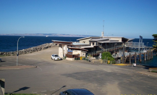
The Karatta linked KI to Port Adelaide from 1908 to 1961; the 2000-ton Troubridge 1961 to 1987; the Island Seaway 1987 to 1995; followed by the Sealink service between Cape Jervois and Penneshaw.
Philanderer I operated between Cape Jervis and American River in the 1970s. Philanderer II operated between Cape Jervis and Penneshaw in 1982, followed by Philanderer III in the mid 1980s which carried cars and up to 250 passengers. Superflyte was a passenger-only service from 1994-1997 between Kingscote and Glenelg. It did the trip in 2 hours on calm days but was hindered in rough seas (one trip I was on had to continue to Outer Harbor and arrived 2 hours late!)
About 30% of Kangaroo Island consists of national parks and conservation areas. The Island has 890 species of native plants, over 300 species of birds, plus marsupials and reptiles.
For more information the official tourist brochures are useful, such as Sealink's Discover the best of Kangaroo Island, as well as the following books:
- Bell, G. 1997 Kangaroo Island
- Nunn, J.M. 1989 This Southern Land Kangaroo Island
- Ruediger, W.J. 1980 Border's Land Kangaroo Island
- Tyler, M.J., Twidale, C.R., & Ling, J.K. (Editors) 1979 Natural History of Kangaroo Island
Sealink runs two car and passenger ferries, SeaLion 2000 and Spirit of Kangaroo Island, commissioned in 1998 and 2003, which can each take about 50 cars and over 300 passengers..